Geocarta - Soil mapping

Description
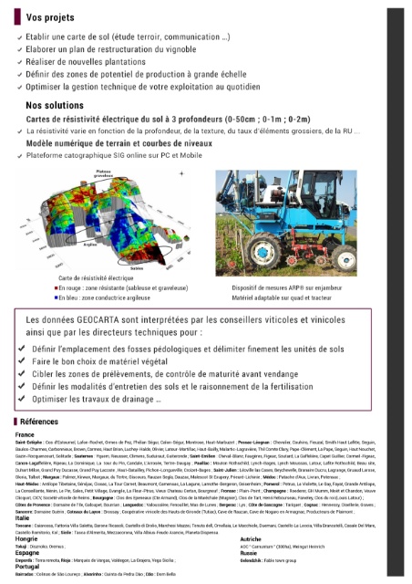
Discover variations in soil physics at the intra-plot scale (texture, structure, depth, etc.) with the help of geophysics mapping.
The use of these maps allows, among other things, to act on structural aspects (choice of rootstock, plot division, drainage plan, etc.) and during a campaign (fertilization plan, location of maturity control points, selective harvests ...).
Geocarta is also developing IT tools to add value to these maps.


